Powered by mountain lovers like you
The best way to answer "Is The Mountain out?"
The crowdsourced, real-time answer from mountain watchers across Western Washington. Free to check, free to report. Watch the live map, or add your own sighting the moment Tahoma breaks through the clouds.




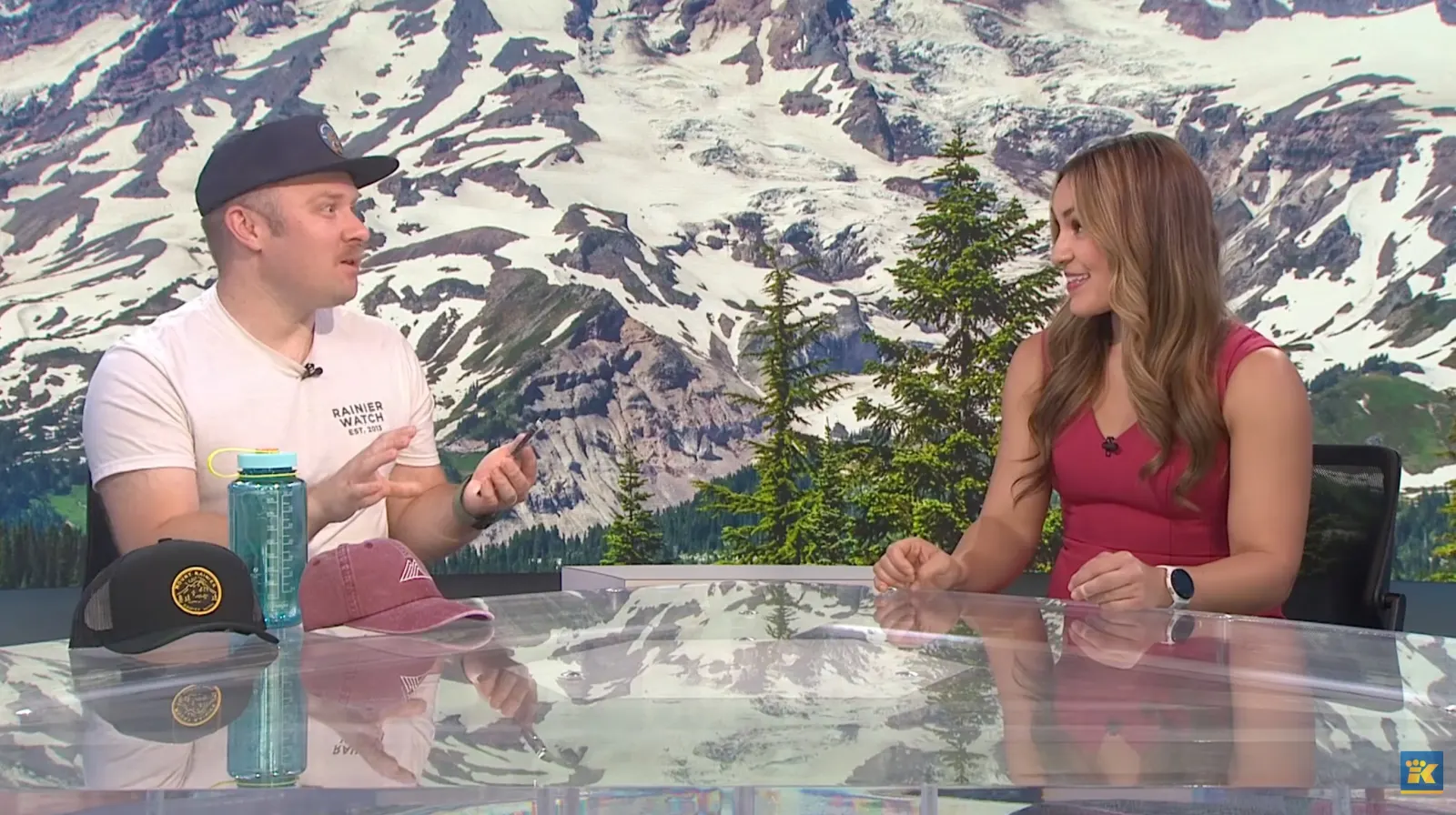
As seen on KING 5
Watch the KING 5 feature
Reported by the community
Built by mountain watchers across Western Washington
- Community reports
- 3,537
- all-time, and counting
- Reports, last 30 days
- 666
- a fresh 30 days
- Website live since
- 2022
- and going strong
- Reported from the app Not out White Center 5 hr ago
- Reported from the app Mostly out Columbia City 5 hr ago
- Reported from the app Not out Navy Yard City 6 hr ago
- Reported from the app Not out White Center 6 hr ago
- Reported from the app Not out Spanaway 7 hr ago
- Reported from the app Kinda out Lakeland North 7 hr ago
- Captured from a webcam Kinda out Tacoma (King 5) 7 hr ago
- Reported from the app Kinda out Olympia 7 hr ago
- Reported from the app Not out Tanglewilde-Thompson Place 7 hr ago
- Reported from the app Not out White Center 8 hr ago
- Reported from the app Kinda out South Hill 8 hr ago
- Reported from the app Not out Tumwater 8 hr ago
- Captured from a webcam Not out White Pass — Couloir Express 9 hr ago
- Reported from the app Not out White Center 10 hr ago
- Captured from a webcam Not out White Pass — Couloir Express 11 hr ago
More than yes or no
Five ways The Mountain shows up
Every report (and every hex on the live map) lands on one of these five states. It's the whole language of Is The Mountain Out.
-
01
Not out
Socked in. The clouds win this round.
-
02
Kinda out
A peek: the summit teases through the haze.
-
03
Halfway out
Coming into view, the base still hidden.
-
04
Mostly out
Nearly the whole massif, clear and close.
-
05
Mountain OUT!
Full, unmistakable Tahoma. Go look.
Left to right: not out → Mountain OUT!
What you get
All the features. (such as they are.)
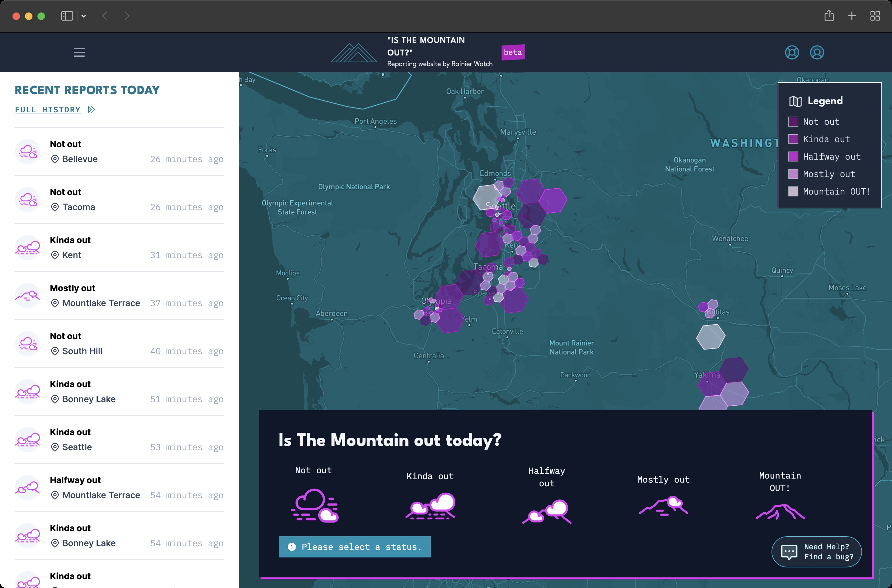
Real-time map
See where Tahoma is out right now, color-coded by community consensus across Western Washington.
Quick reports
Pick a state, share your spot, done. No account, no install, works in any browser.
Privacy-first
Your spot snaps to a hexagon about a city block wide on your device. We never see your raw GPS.
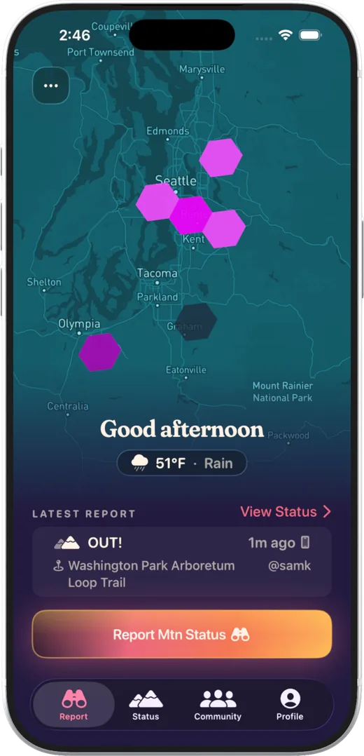
NewiOS app
Keep today's status right on your Home and Lock Screen. The fastest way to check, free on the App Store.
Photos
Make a free account to attach a photo to your reports and share the view right in the feed.
Open & ad-free
A small, independent project built in spare time. No ads, nothing sold, no growth team.
Live map
The whole of Western Washington, on one screen.
Every report lands on a live hex map you can pan and zoom. It's the fastest way to see where Tahoma is breaking through right now.
- Color-coded by community consensus: each hex shows the day's average, from not out to Mountain OUT.
- Aggregates into wider hexes until a spot is busy enough to zoom in.
- Fresh every reporting day, across the whole region.
“This is pretty much the coolest thing ever. I check it every morning, even before I open my weather app.”
Your data stays yours
Privacy-first by design
A community map shouldn't cost you your location. Here's exactly what we collect, and what we don't.
-
Approximate location only
Your phone snaps your spot to an H3 resolution-10 hexagon, about a city block across (a few hundred feet), before anything is sent. We get the cell. We never get your raw GPS, and it stays on your device.
-
Report photos are scrubbed on upload
Every photo you attach to a report is re-encoded on upload to strip all EXIF and GPS metadata, including the coordinates cameras quietly embed. Nothing about where you stood is hidden in the file.
-
Coarse map until it isn't noisy
The public map shows reports at a wider hexagon size until enough people report from a smaller one. Locations stay at hexagon-grid resolution (roughly a city block), never your exact GPS.
-
Accounts are optional
Reporting and reading the map never require an account. Anonymous reports are first-class. Sign up only if you want to attach photos, keep a streak, build a profile, or get notifications.
What we show the world
The map colors each hex cell by aggregated community consensus: how out The Mountain is, not your exact spot.
- Not out
- Kinda out
- Halfway out
- Mostly out
- Mountain OUT!

About us
Built by mountain lovers
for mountain lovers.
Howdy. Is The Mountain Out is a side quest by Rainier Watch Supply Co., our apparel company out of the Pacific Northwest. Michael built the backend it runs on a couple of years back; these days it's mostly David on the site and the iOS app. It's the idea we'd had in our heads for years: a stupid-simple way to know, right this second, whether the Mountain is out. It's free and ad-free, and it always will be. Grabbing a shirt is how you keep it going.
Live on the map
The Mountain might be OUT right now.
Probably. Maybe. We don't know, that's exactly why we're asking you.
Or just check today's yes/no at isthemountainout.today